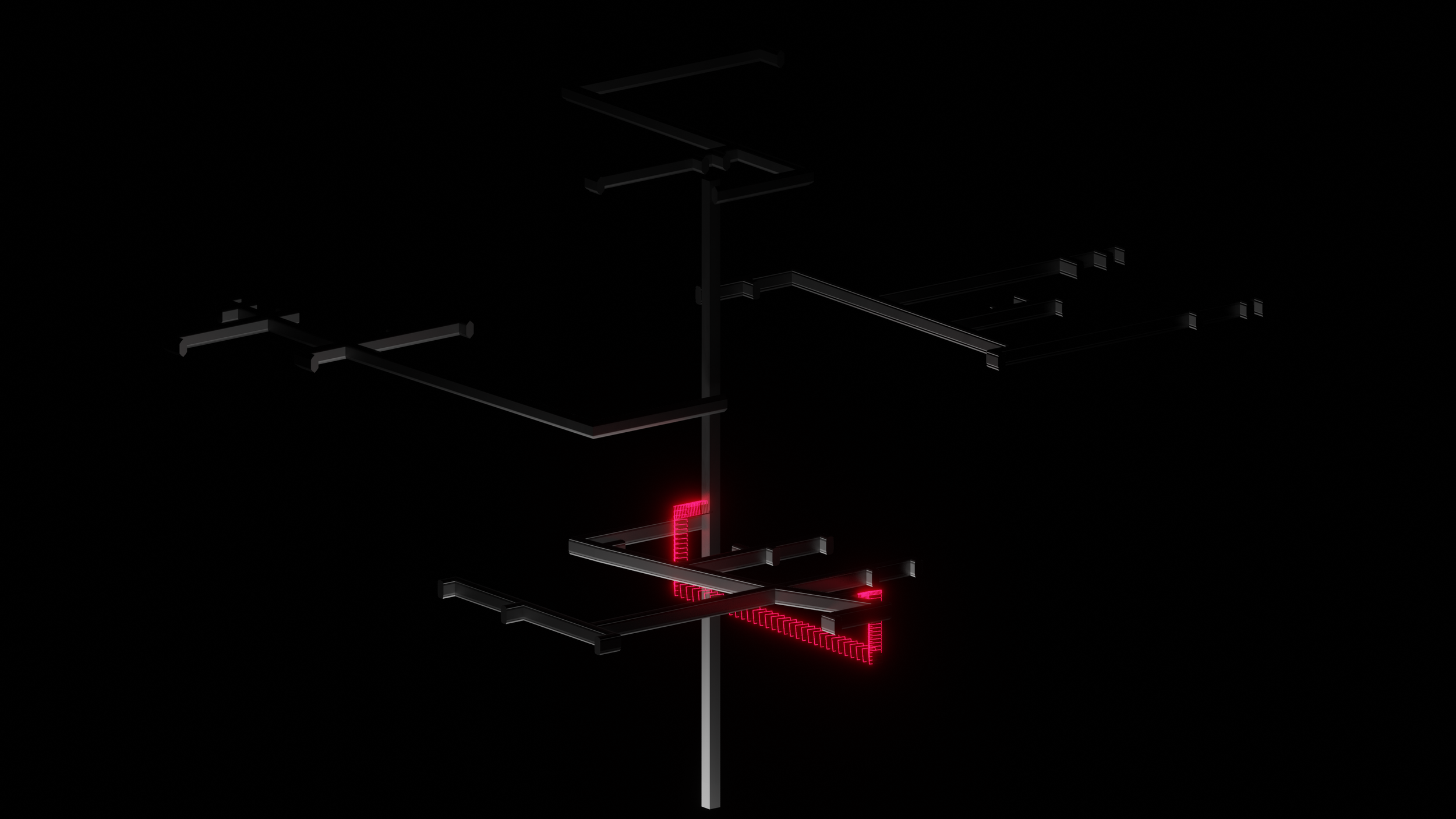
Invisible Bridge II
3D Data Visualization
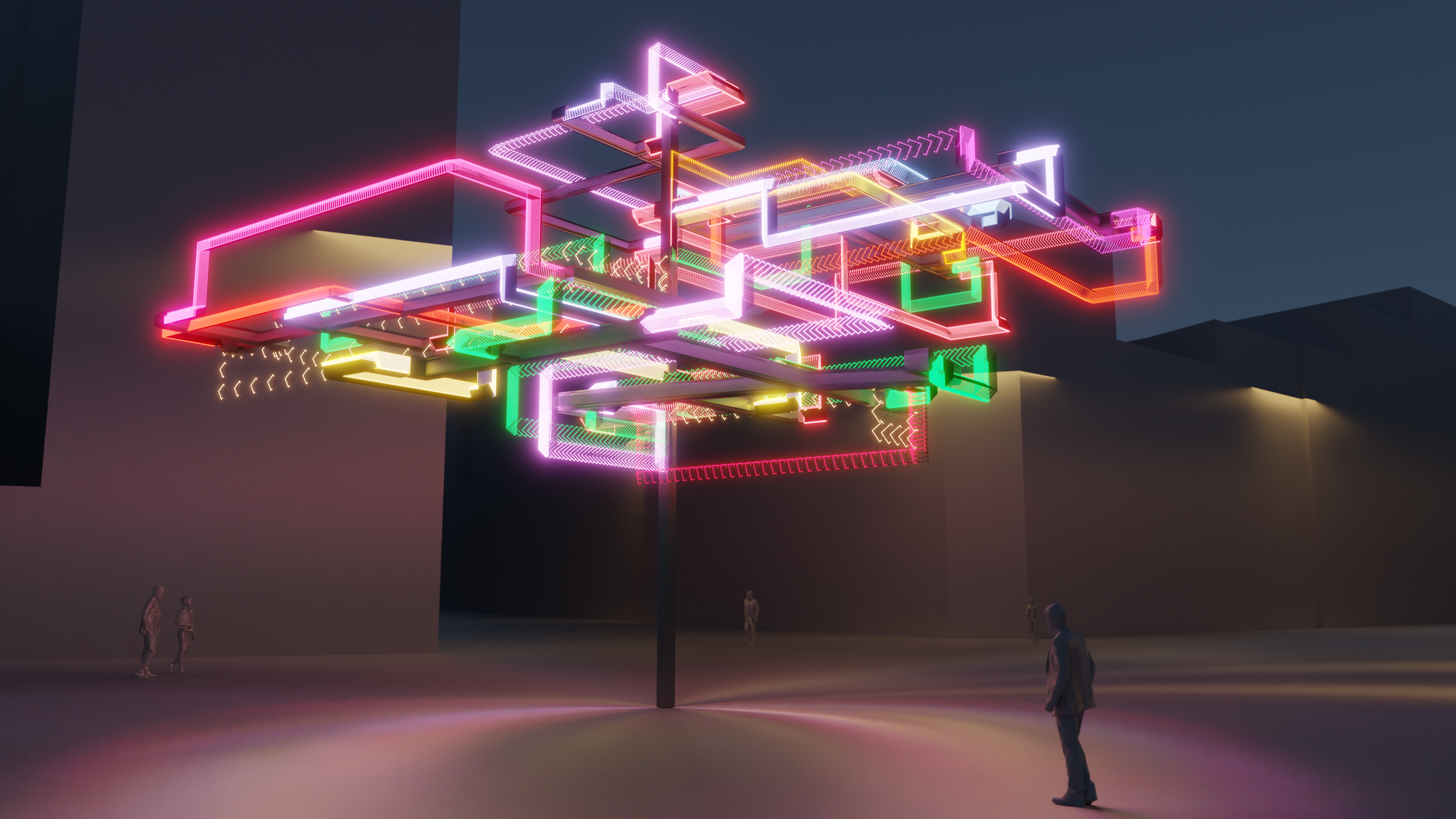
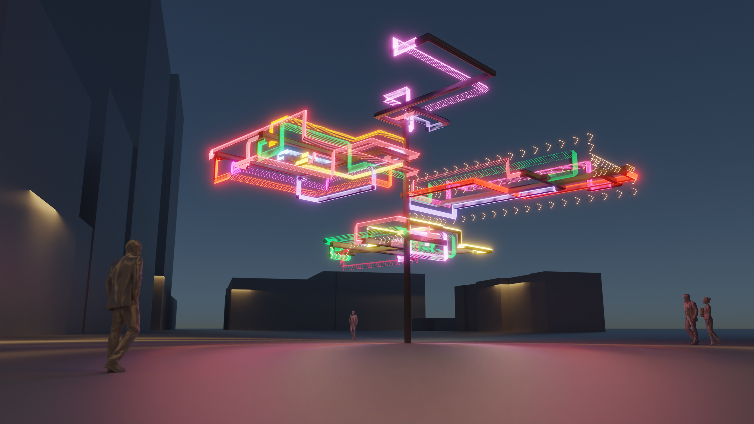
Invisible Bridge is a data-based map that indicates all restaurants within two blocks of Union Square. By revealing and visualizing two scales of distance, New York City distance and real geographical distance, the audience can realize that we are surrounded by so many cultures from all over the world and also encourage them to explore this complex system of food and immigration culture. Ultimately, it will be built as wayfinding signage in an abstract sculptural form to assist people with finding less-apparent cultural integration in the area.
How-to-Read
Each color represents one cuisine. From top to bottom and from left to right:
British, Denmark, French, Greek, Persian, Italian, Japanese, Malaysian, Mexican, Portuguese, Russian, Spanish, Thai, Vietnamese
The density of lighting was controlled by local distance and real geographical distance
